
Applies to:
Civil 3D 2024 and older with the same version of Infraworks installed – this defect appears fixed in Civil 3D 2025 / Infraworks 2025 that are fully patched
Issue:
You have started a new drawing and used the Edit Drawing settings to apply a coordinate zone to the drawing.
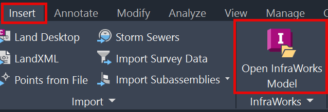
You then go to Insert an Infraworks Model via the insert ribbon tab:
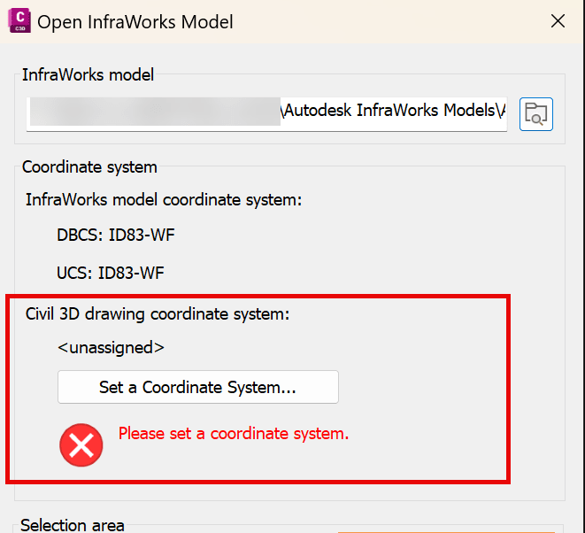
And you get the error that the Civil 3D drawing Coordinate System is not assigned:
Causes:
This problem is due to how you set the coordinate system.
If you use the Drawing Settings in Civil 3D to set the coordinate system, it’s not setting all the data, so when connecting to a data source that is a different coordinate system, it will not translate correctly.
Solution:
1. Once you set the Drawing via the Drawing Settings to the coordinate zone, save the drawing and exit out of Civil 3D, then reopen and reopen the drawing (that will fix the missing data pieces). Then you insert eh Infraworks model and it will see the correct coordinate zone assigned in the Civil 3D drawing.
2. Use MAPCSASSIGN command instead, as this is the Map 3D command, and it will correctly set the data and do the transformation correctly. Using MAPCSASSIGN will not require you to save, close and reopen Civil 3D.
About the Author
Follow on Linkedin More Content by Ryan Wunderlich


