
Bringing the Real World into Civil Design: How Laser Scanning and Point Clouds are Transforming Civil Projects
I’ve had the opportunity to work alongside dozens of civil teams over the years, and one thing is always clear: the more accurate your site data, the better your design outcomes. That’s where reality capture, specifically laser scanning and point cloud workflows, makes a huge impact.
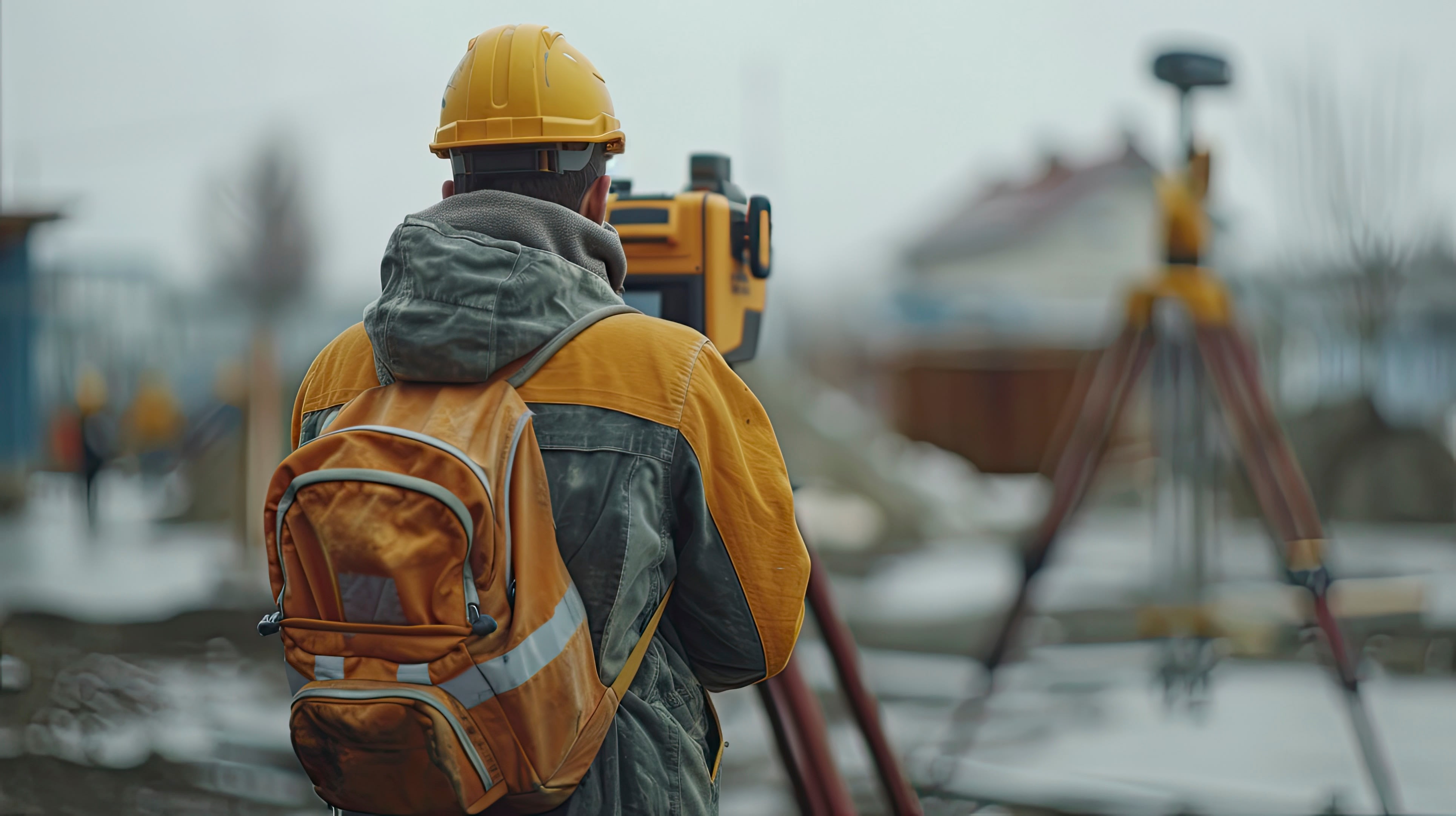
Why Laser Scanning Matters for Civil Projects
Traditional survey methods still have their place, but they can be time-consuming and leave room for gaps, especially on complex sites. Laser scanning fills those gaps by capturing millions of data points per second, creating a complete, high-resolution snapshot of existing conditions. Whether it’s a highway, utility corridor, or bridge structure, the result is a rich, accurate point cloud that civil teams can trust.
The Benefits We See in the Field
Here are just a few of the real-world benefits our clients are experiencing:
-
Improved Accuracy and Confidence: With detailed point clouds, you can identify and avoid potential conflicts early, whether it’s uncovering underground utility placements or irregularities in topography that might affect drainage.
-
Faster Decision Making: Reality capture data can be turned around quickly, helping teams reduce the time spent on site and speed up planning and design decisions.
-
Better Collaboration: Point clouds can be easily shared with project stakeholders through cloud platforms like Autodesk Construction Cloud or Navisworks. Everyone, from designers to contractors, can visualize and coordinate around the same data.
-
Reduced Rework: Accurate, up-front data means fewer surprises during construction, leading to significant time and cost savings.
-
Supports Retrofit and Renovation Projects: For projects involving aging infrastructure or unknown conditions, reality capture gives a current, reliable baseline without relying solely on outdated as-builts.
Point Cloud Workflows in Civil 3D
Our team helps civil firms integrate point clouds directly into Autodesk Civil 3D. That means you’re not just looking at visuals. You’re using real geometry and topography data to drive decisions. Whether it’s generating surfaces, cross-sections, or extracting linear features, the workflow becomes faster, more intuitive, and more accurate.
Making It Scalable
One concern we often hear is about managing massive point cloud files. The good news is, we’ve got tools and strategies to streamline the process. That includes segmenting data, leveraging Recap Pro, and optimizing scan planning for just the right level of detail. You don’t need to scan every inch of a site to benefit.
Bottom Line
Laser scanning and point cloud workflows aren’t just for complex buildings or high-profile projects. They’re game changers for civil teams looking to reduce risk, save time, and build smarter. If you’re still relying solely on traditional methods, it might be time to bring reality capture into your toolbox.
Want to talk about how it could work for your team? Let’s connect.


