
Digital Twins for Civil Infrastructure: Turning Reality Capture into New Revenue Streams
When civil engineering firms first explore reality capture technologies like laser scanning or aerial photogrammetry, the initial use case is usually straightforward: capturing site conditions with greater speed and precision. And while that’s a great starting point, it’s only the beginning.
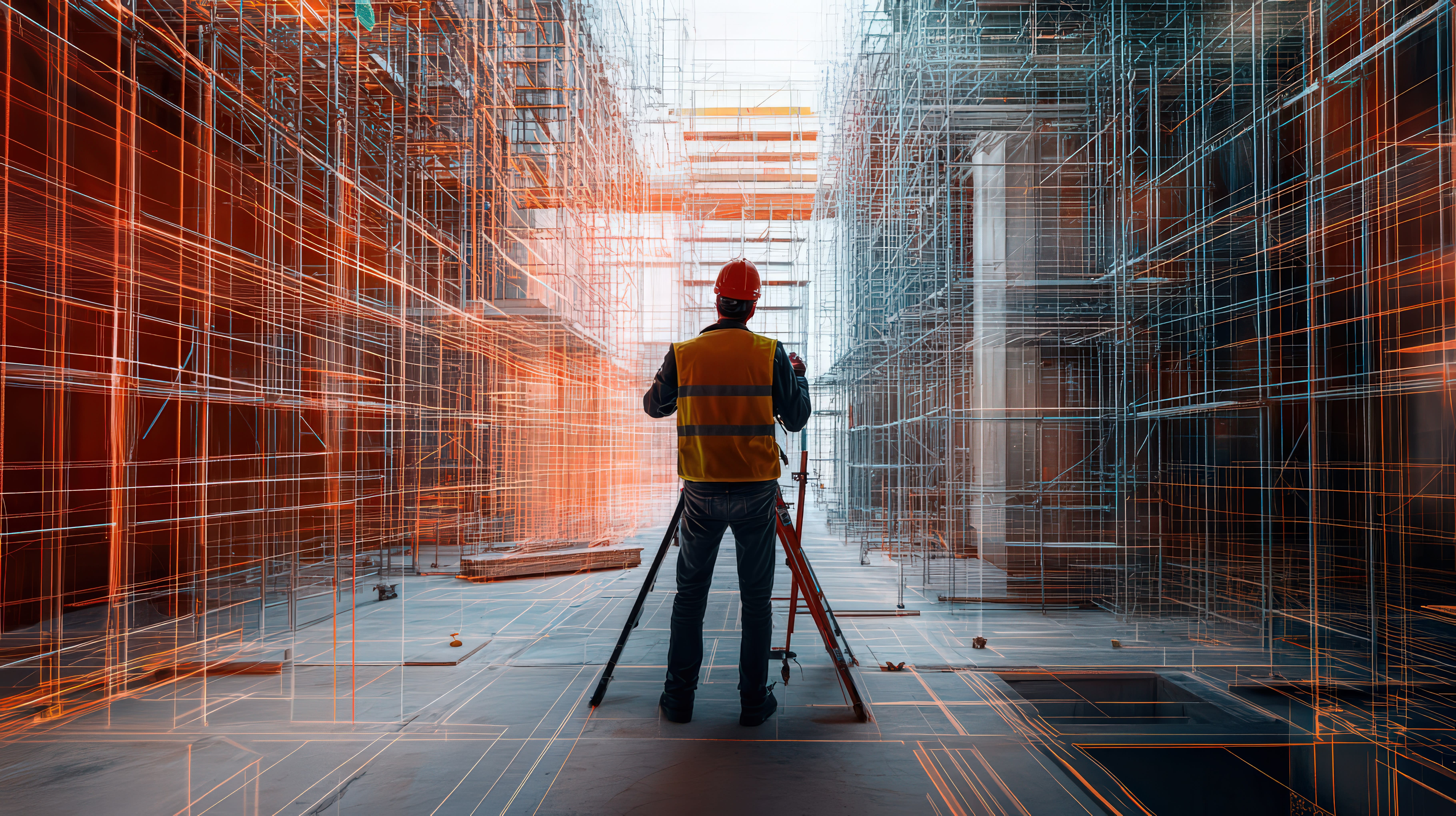
Beyond improving operational efficiency and the quality of design deliverables, civil firms can leverage reality capture to create new revenue opportunities, particularly through the development of digital twins. By scanning completed infrastructure projects, such as bridges, roadways, utility networks, or water facilities, and turning that data into a living digital asset, firms can offer ongoing value to owners and agencies responsible for long-term operations and maintenance.
What Digital Twins Offer to Civil Owners and Operators
Here are just a few ways digital twins deliver value to municipalities, DOTs, and infrastructure owners:
Predictive Maintenance
With a digital twin, it becomes possible to anticipate wear or degradation of physical assets, whether it's pavement cracking, utility pipe corrosion, or bridge component fatigue. This allows for proactive maintenance planning, reducing emergency repairs and lowering lifecycle costs.
Asset Management Integration
Digital twins can be integrated into asset management platforms to track condition, inspections, and service histories. This gives owners a centralized, visual database of every physical asset and its current state, making capital planning and budgeting more effective.
Operational Efficiency
For transportation or public works departments, digital twins can streamline the way teams manage work orders, coordinate field crews, or plan upgrades. From traffic signals to culverts, having a real-time digital model helps decision-makers act faster and smarter.
Sustainability and ESG Goals
As agencies focus on sustainability and environmental reporting, digital twins help monitor infrastructure performance and emissions. For example, they can be used to track fuel consumption, stormwater runoff, or HVAC efficiency in public facilities, supporting ESG and carbon reduction goals.
At IMAGINiT, we’ve worked with a wide range of clients, public and private, on integrating reality capture and digital twin strategies into their infrastructure projects. Whether you're focused on smart city initiatives, water treatment plants, highway networks, or utility modernization, we can help you map out a scalable, strategic path.
If your civil team is looking to create new revenue streams, enhance your service offerings, or provide lasting value to clients and asset owners, we’d love to talk. Let’s explore how reality capture and digital twins could transform your business.


