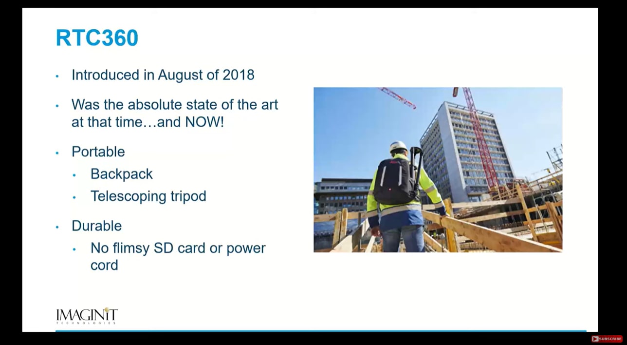
Capturing data with the Leica RTC360 is just the first step—how you process and utilize that data is where the real value lies. The RTC360’s USB-based data import ensures a smooth transition into processing software, eliminating the complexity of traditional methods. Once imported, the Cyclone Register 360 PLUS software makes data registration simple and intuitive, allowing users to export directly into formats like LGSx, RCP, and more for further use.
But what can you do with this data? The answer is: a lot. RTC360 scan data can be leveraged in various applications, including:
• Revit – to create accurate models of existing conditions
• Navisworks – for coordination and project visualization
• Cyclone 3DR – for advanced analysis and quality control
Additionally, point cloud data is revolutionizing industries beyond AEC. It’s being used to analyze ship hulls, underground vaults, ADA ramp compliance, mine work, and even crime scenes. The RTC360 isn’t just a tool for scanning—it’s a gateway to a smarter, more efficient way of working with real-world data.
Discover how the RTC360 showcases how this tool streamlines workflows, enhances collaboration, and reduces costly rework in IMAGINiT's latest webinar, Unlocking the Potential of the Leica RTC360 Laser Scanner.


