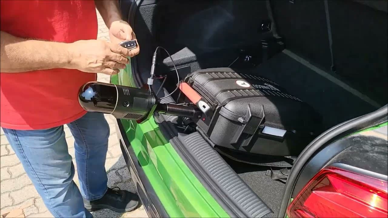
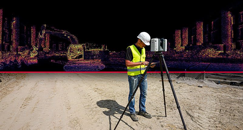
Leica Geosystems has changed the high definition laser scanning workflow forever! If you are not familiar with the world of high definition laser scanning, you may not understand how much the June 13th announcement has changed the scanning workflow for the better. Let me explain for those who are not familiar. The current workflow consists of a laser scanning technician traveling out to the scan site, placing the scanner in a location and running a scan. When a scan finishes, he equipment is picked up and moved to a location where similar features can be seen from one location to another. This goes on and on until the entire project is scanned. The user then has to go back to the office to register or “stitch together” the data so make one large point cloud. This process can take hours depending on the project.
The announcement of the RTC360 has changed the game. The RTC360 has the technology to know where it is in relation to scans taken around it. You might be wondering how this is possible. Well, Leica has created VIS (Visual Inertial System) technology that is able to track the movement of the scanner position relative to the previous setup in real time. I have had the opportunity to see the system work in real time and it is nothing more than amazing! This system is capable of aligning the scans in the scanner so when the data is brought over to the computer, it is already registered together. Of course, this is technology and we all know technology can fail at times. The worst fail I was able to witness with this particular technology was that the data wasn’t registered together as tightly as it could have been. In a case like this, we can tighten the registration in Register 360 like we always have. The difference here is that even if you weren’t on the project scanning, the data is already aligned and just needs to be nudged a little bit to tighten the registration so we don’t have to know what the project looks like.
So maybe you’re reading this and thinking to yourself, how is this different from my current scanner? Well, depending on the scanner, the automatic registration isn’t available on any other scanner on the market. This alone is a benefit to the RTC360. Another reason I hold this new system in high regard is the ability to scan using a tablet (Android or IOS) with Cyclone Field. The Cyclone Field app can be used to run the scanner, look at the registered data and eventually send a TruView off to stakeholders without ever having to go back to the office!
I can imagine the questions people are going to ask about this scanner so I am hoping to answer a few of them here in this post.
Why would Leica put this scanner on the market to compete with the BLK360 and P series scanners?
The simple answer here is that they haven’t put this scanner on the market to complete with either of these scanners. The BLK360 is an entry level scanner that has a price that reflects its place in the market. The RTC360 will not be a $20k solution when it is released in July. The RTC360 is a more powerful solution that the BLK360 and will command a higher price tag.
What about the P Series scanners?
The only fair comparison between the P Series and the RTC360 is comparing the P30 to the RTC360. They have about the same range and capability but the RTC360 is not upgradable to a P40. If we compare to the P40, we are not in the same ball park. The RTC360 is not meant to take the place of this survey grade scanner. The P40 has a longer range and higher point density than the RTC360.
Where does the RTC360 fit?
The RTC 360 is a mid-range scanner that is capable of scanning up to 130m. I personally see this as an excellent solution for all interior scanning purposes and some outdoor scanning.
When and where can I get my RTC360?
You can purchase your RTC360 beginning in the middle of July and currently expect to take delivery towards the end of August, beginning of September. Contact your IMAGINiT sales representative for more information going forward.
See a video of the Leica RTC360 in action.
Learn more about the Leica RTC, including seeing a brochure/specifications.
About the Author
Follow on Linkedin More Content by Jay Meszar